Zelené Pleso
1551 m ; 28/12/2007


Les Tatras Slovaques, pour l'essentiel, sont fermées en hiver. Cependant, quelques sentiers dans des zones non-avalancheuses au fond de larges vallées sont ouverts aux randonneurs, et c'est notamment le cas pour celui de Biela Voda à Zelené Pleso, qui a l'avantage de ne pas être situé trop loin de Ždiar, où nous résidons. Je commence à connaitre plutôt bien cette zone des Tatras, mais c'est l'occasion de l'essayer encore par un sentier différent (bien que proche de celui de la Dolina Siedmich Prameňov, qui est en fait la même vallée), tout en goûtant pour la première fois à la haute montagne des Tatras en hiver.

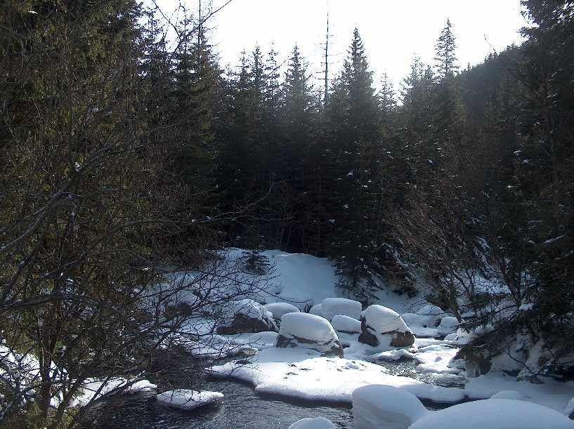
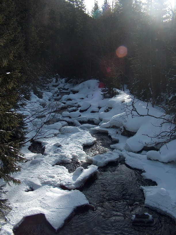
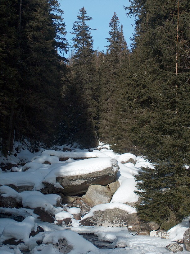
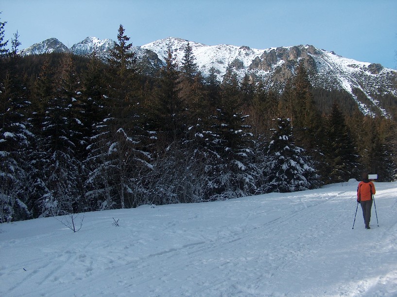
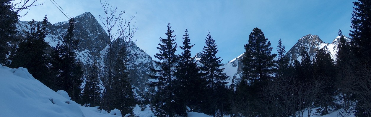
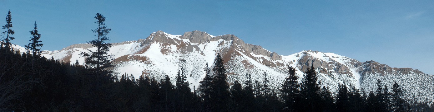
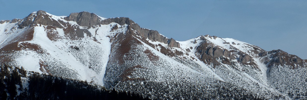
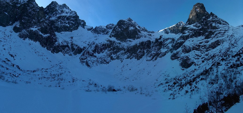
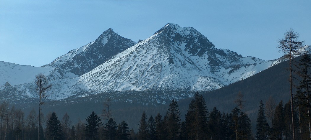
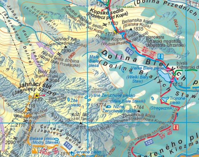
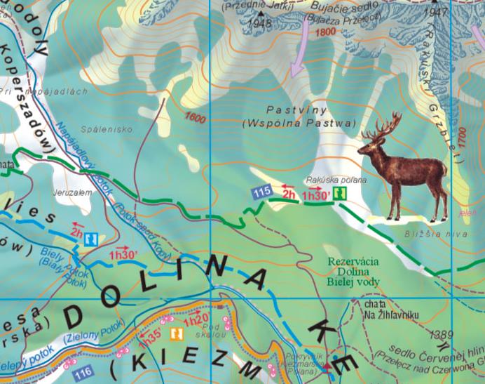
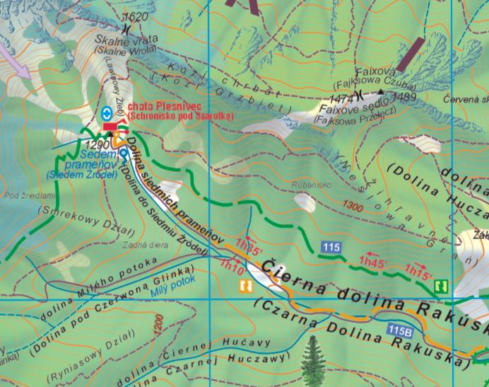
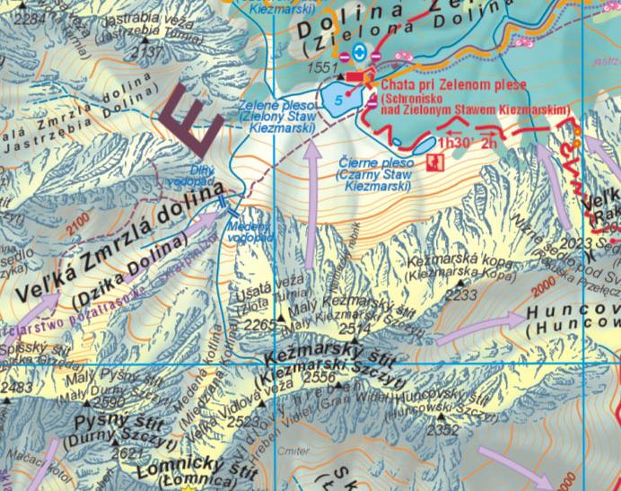
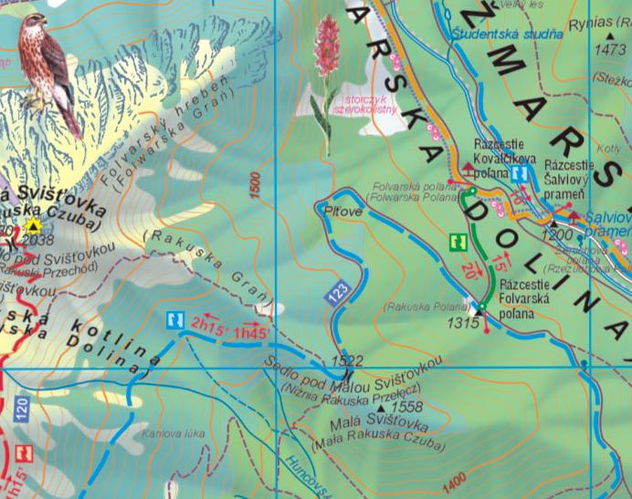
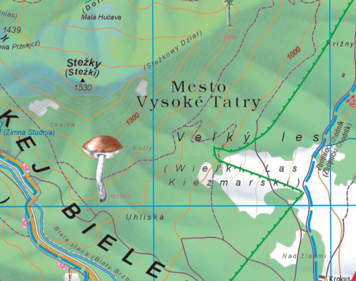
Most of the Slovak Tatras are closed during the winter. However, few touristic trails in non-avalanchous zones located in the bottom of large valleys are opened to the hikers, and this is precisely the case for the one from Biela Voda to Zelené Pleso, which also have the advantage to be not too far from Ždiar, where we stay. I'm starting to know quite well this zone of the Tatras, but this is the opportunity to try it once more by a different trail (indeed quite close to the one of Dolina Siedmich Prameňov, which is in fact the same valley), while having a first taste of the high moutain of the Tatras in the winter.


Cliquez pour élargir ; Click to enlarge

Au départ du sentier vers Zelené Pleso, à Biela Voda, versant Sud de la chaine. Nous pouvons voir les ravages de la tempête du 19 Novembre 2004...
At the start of the trail to Zelené Pleso, at Biela Voda, on the southern of the range. We can see from here the damages of the storm from November 19th 2004...

Heureusement, le sentier ne traverse qu'un court instant ces pans de forêt dévastés, pour se faufiler dans la vallée Dolina Zeleného plesa.
Fortunately, the trail only crosses for a little while these ravaged forest zones, to sneak further into the valley Dolina Zeleného plesa.

Près de la jonction du sentier jaune avec le bleu, au niveau d'un pont qui change de rive, premiers aperçus sur les hauts reliefs.
Near the junction of the yellow trail with the blue one, at the level of a bridge changing from one shore to the other, first glance to the heights.
La partie terminale de la vallée, dans un décor alpestre de pins nains, est de toute beauté.
The terminal part of the valley, in an alpine landscape of dwarf pines, is beautiful.
Autre panorama, non loin du lac.
Another panorama, not far from the lake.
Autre panorama sur les Tatras Blanches.
Another panorama to the White Tatras.
Au centre, le pic Hlúpy Štít.
In the centre, the peak Hlúpy Štít.
Le "Lac Vert", Zelené Pleso, est méconaissable, complètement gelé. Nous distinguons même à la surface du lac les traces d'alpinistes partis ascensionner Baranie Rohy, où nous sommes allés il y a à peine trois mois (le sommet plat et oblique éclairé par le soleil). C'est pour ma part la 3eme fois que je visite ce site lacustre magnifique, la première fois en 2004.
The "Green Lake", Zelené Pleso, is unrecognizable, completely frozen. We can only guess at the surface the footprints of some mountaineers gone to ascent Baranie Rohy, where we were not earlier than three monthes before (the flat and oblic top lightened by the sun). For me, this is already the 3rd time I visit this magnificent site, the first time was in 2004.
Retour au point de départ. Cette photo est à comparer à la première, avec un éclairage différent...
Returning the same way to the starting point. This photo is to compare with the first one with a different light...
Autres Ascensions - Other Mountaineerings
Liens - Links
Chata pri Zelenom Plese
Contact
Signez mon livre de visites - Sign my guestbook
Ecrivez moi - Write me

Index
Retour à... - Back to...
Sommaire Carpates
Carpatians Index
Sommaire Principal - Main Index